Geospatial Analyst | EEE Consulting | Richmond, VA | Nov 2015 – Apr 2016
EEE Consulting, Inc. (3e) is a Virginia small business that provides environmental and engineering services. They focus on “all things environmental,” including Stormwater, Brownfields, Assessment and Remediation, Asbestos, Lead, Wetland Delineation, Permitting, Mitigation Design, Stream Restoration, Threatened and Endangered Species consultation, NEPA Environmental Assessment, Hazardous Waste Management, RCRA, CERCLA, TSCA and beyond. They're biggest focus is on linear infrastructure projects including transportation.
Job Duties & Accomplishments:
- Used ArcGIS to perform spatial analysis and data management daily
- Designed and produced cartographic aids for reports, and briefings
- Researched state, county, and city GIS databases and supporting documents
- Planned and evaluated data creation, editing, analysis and quality assurance within ArcGIS
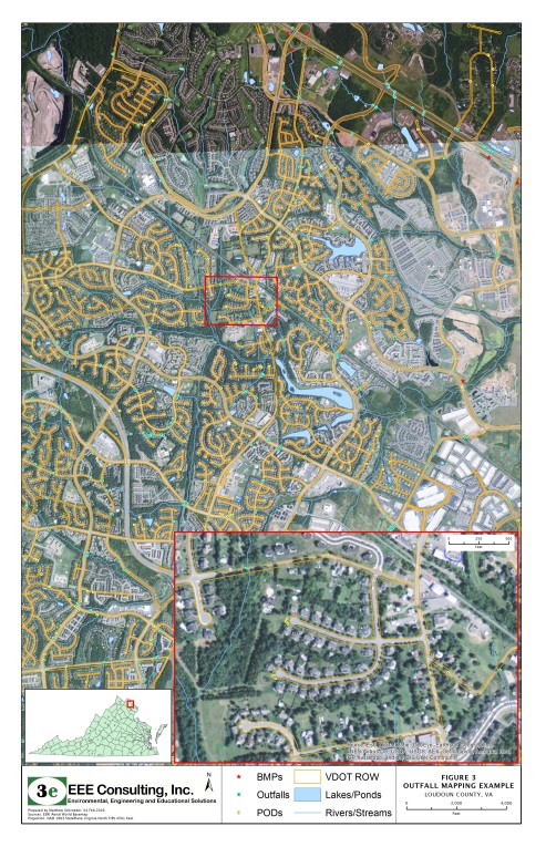
- Collected data in the field using ArcGIS Online and handheld GPS collection platforms
- Provided geospatial assistance in the development and implementation of action plans
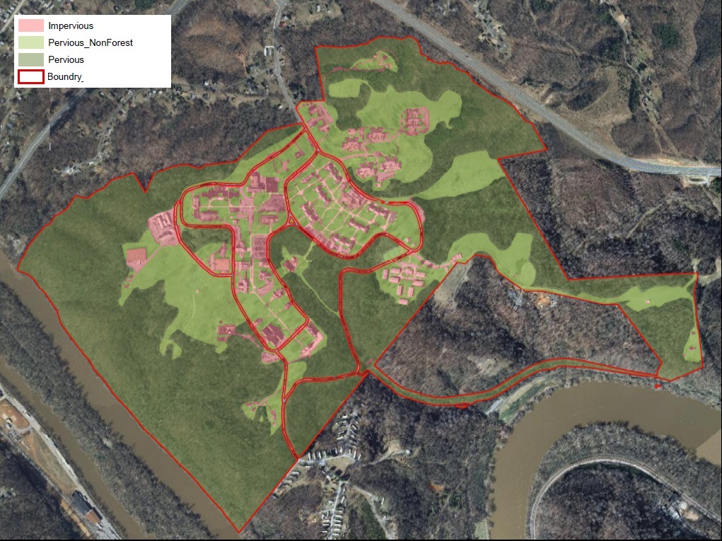
- Conducted impervious and pervious land cover analysis within client property parcels
- Maintained company resources including geodatabases, software, and hardware (GPS)
Mapping Examples:
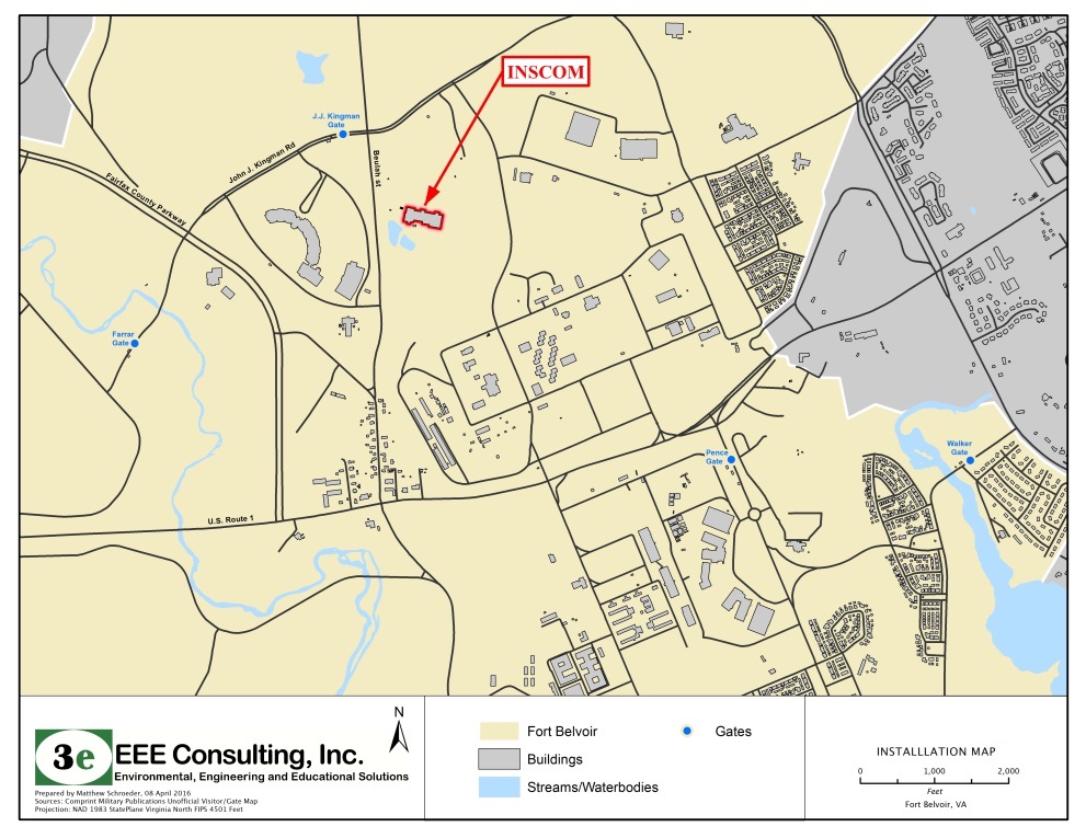
Facility Basemap
Landcover Analysis
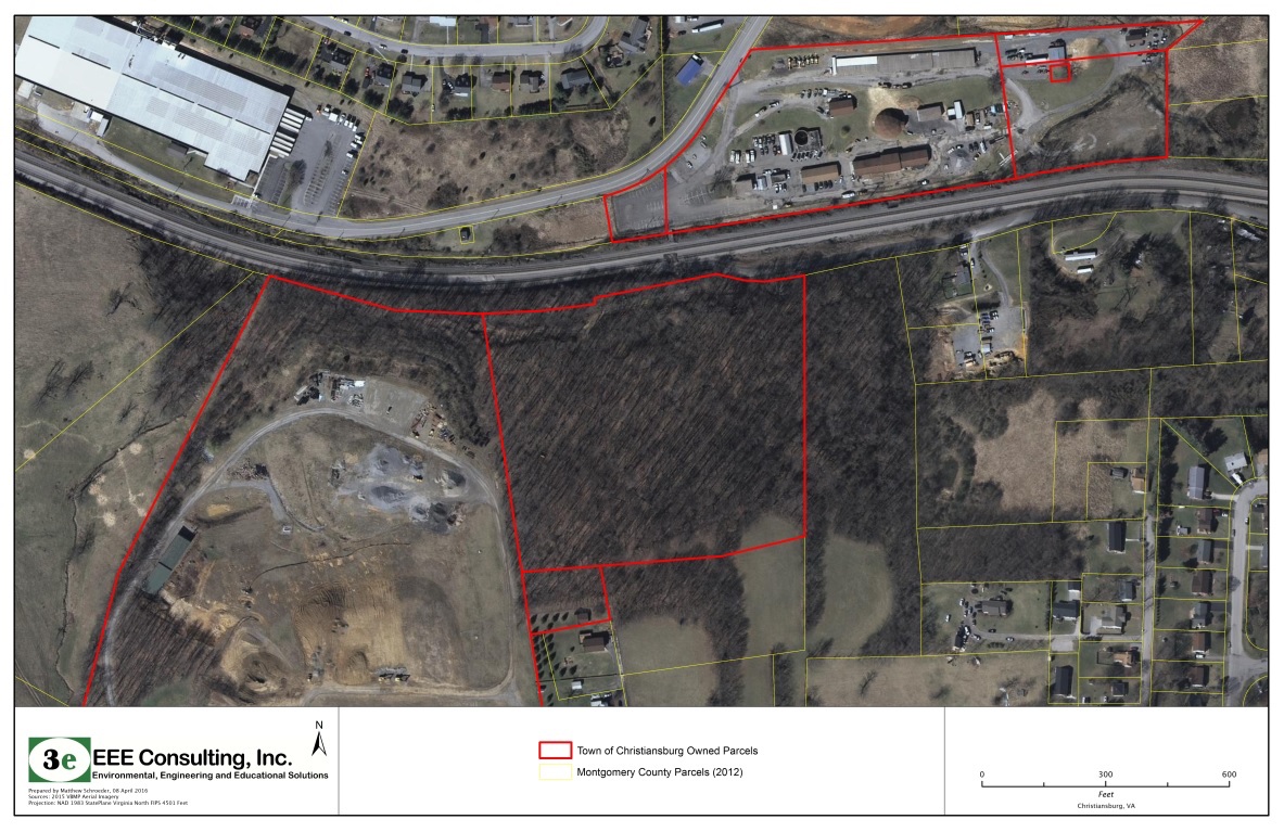
Parcel Data Mapping
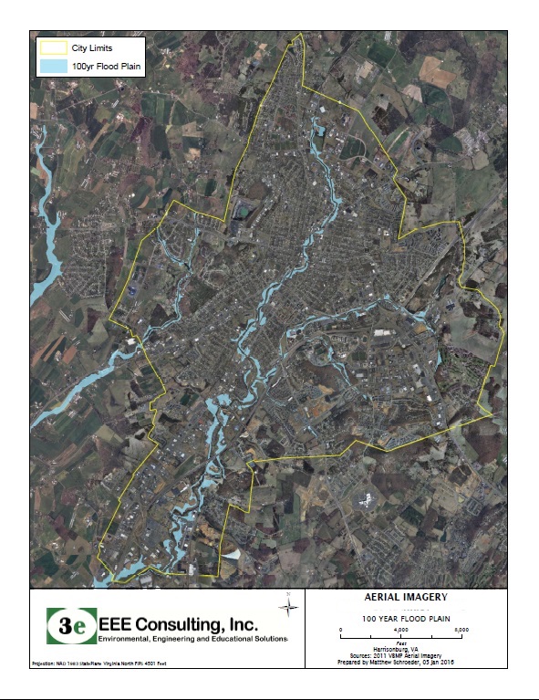
Flood Mapping
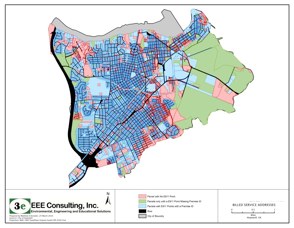
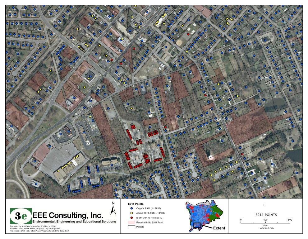
Address and Parcal Mapping
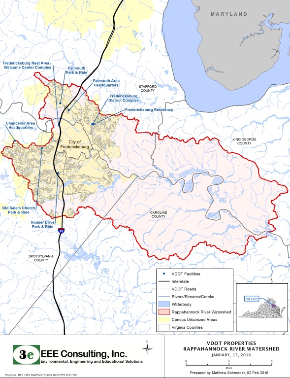
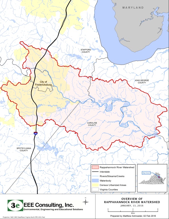
Watershed Mapping for Roadways
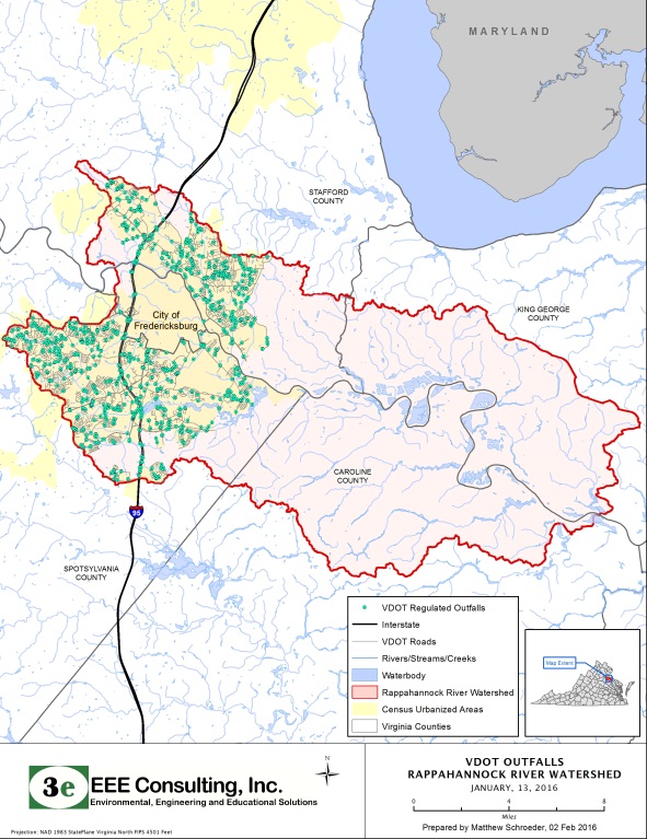
Watershed Mapping for Roadways
Finding Road Areas based on Parcel Data